Getting Lost in New Brunswick
July 22-24
July 22, Saturday — Leaving Temiscouata
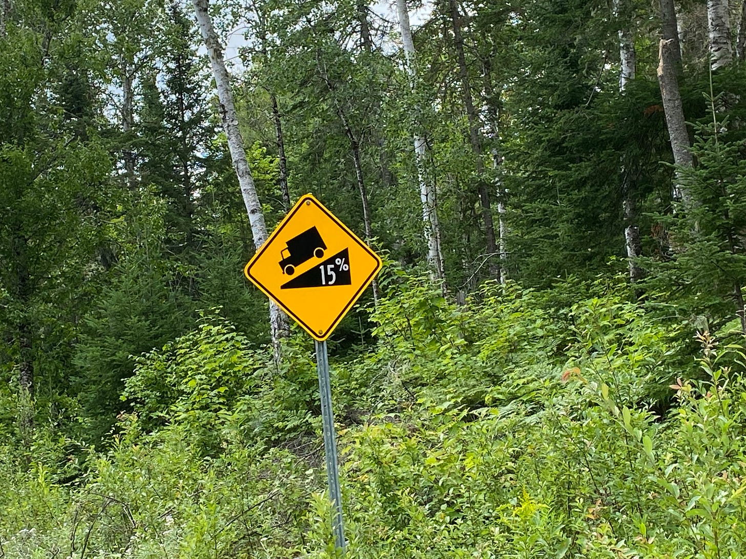
Since we had trouble getting INTO our campsite in Temiscouata NP, it’s no surprise that we also had trouble getting OUT. We had lovely weather in the low 70s, but the roads had some of the steepest grades I’ve ever seen. One sign warned: 17% grade. Yowzer. To make it extra scary, many of these roads are gravel, with no shoulder. I got a picture of this sign:
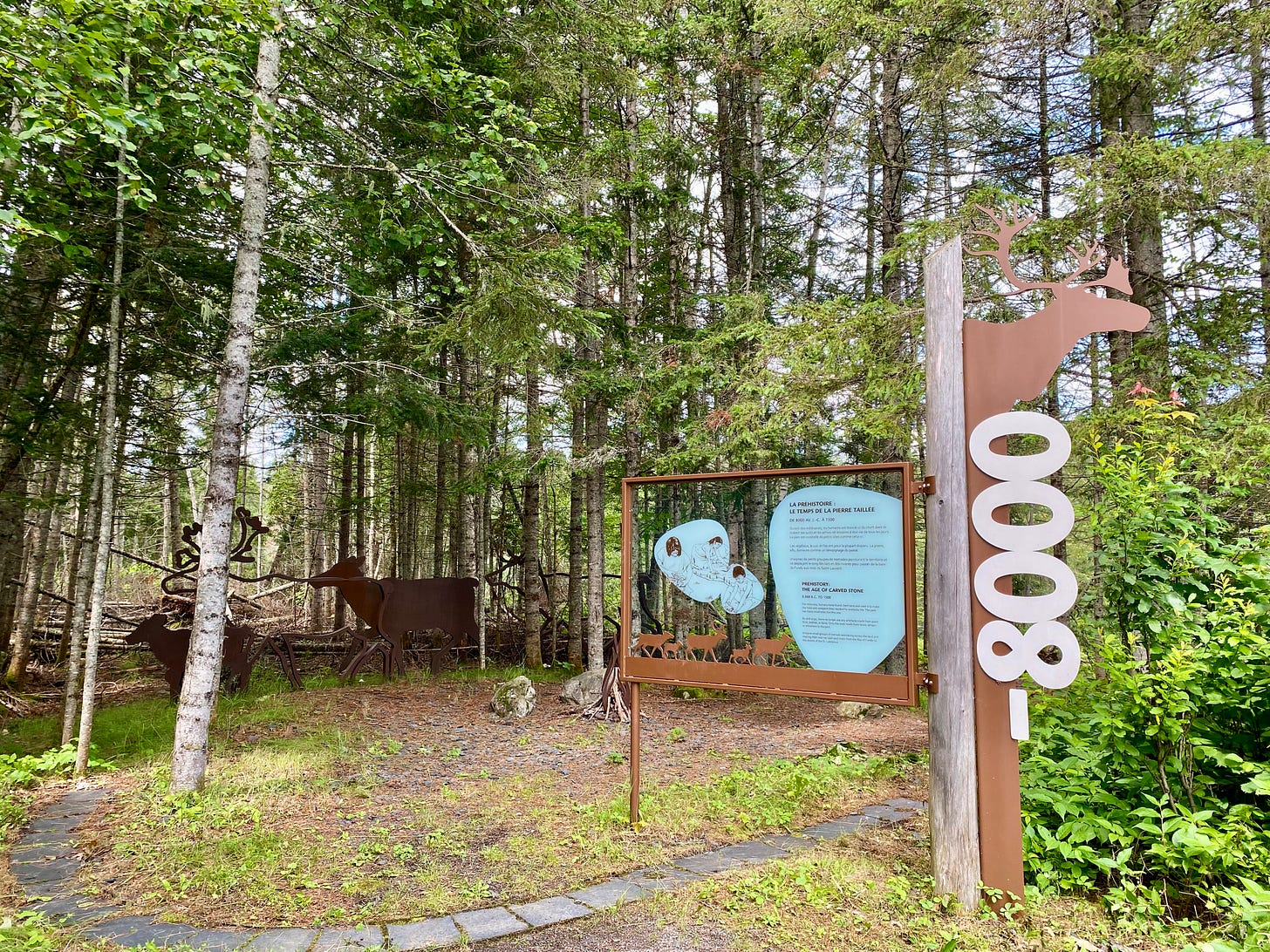
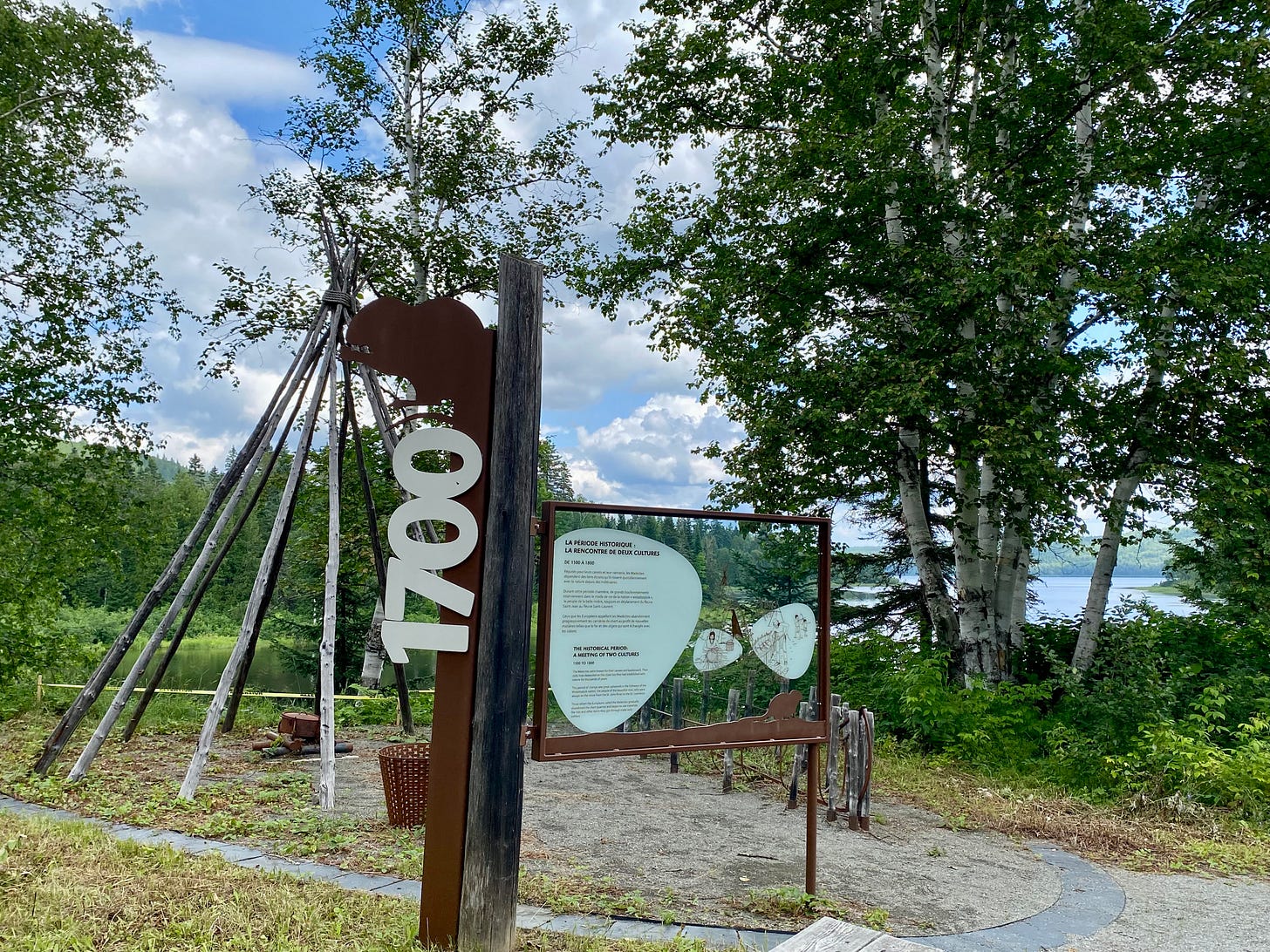
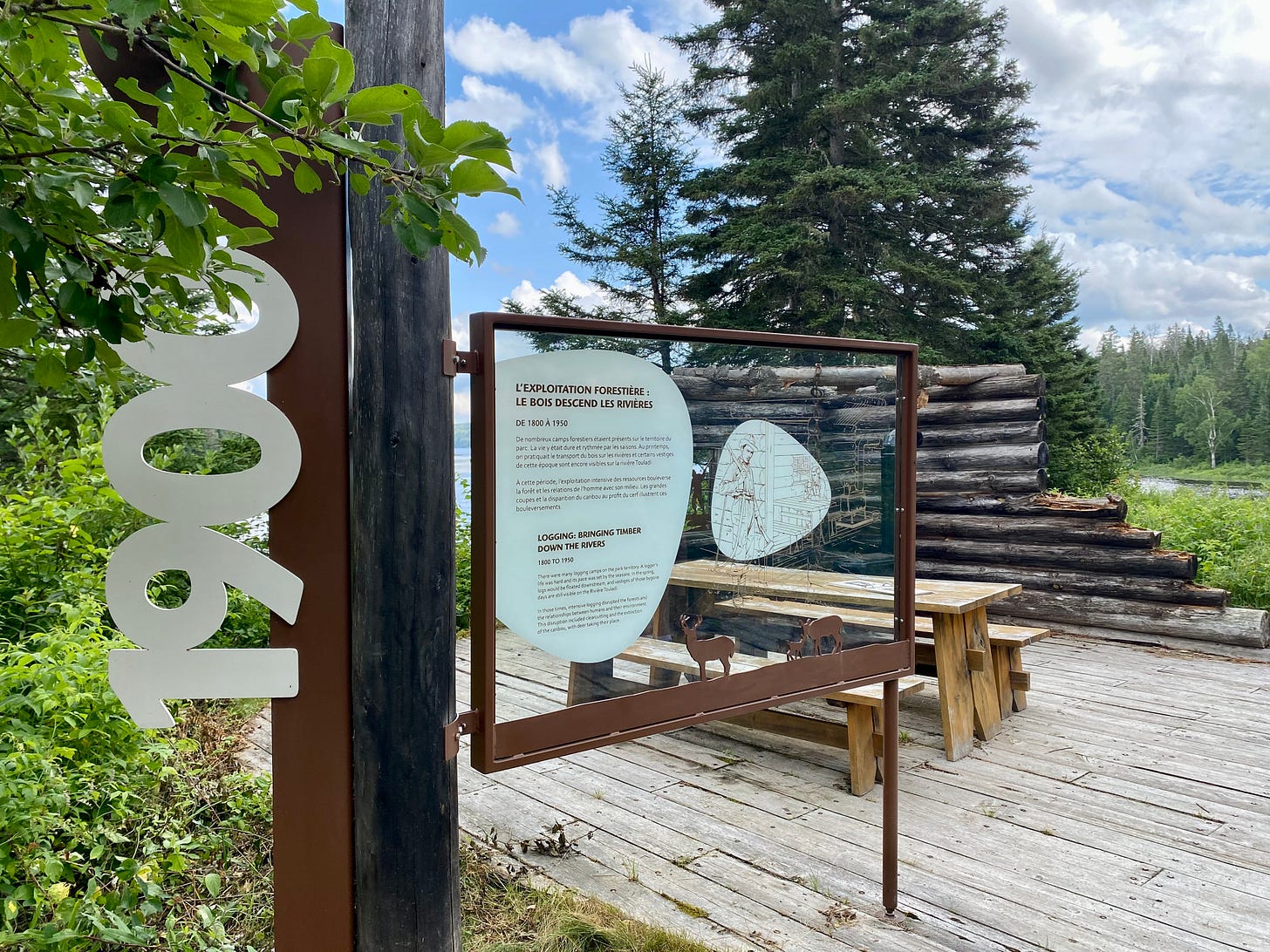
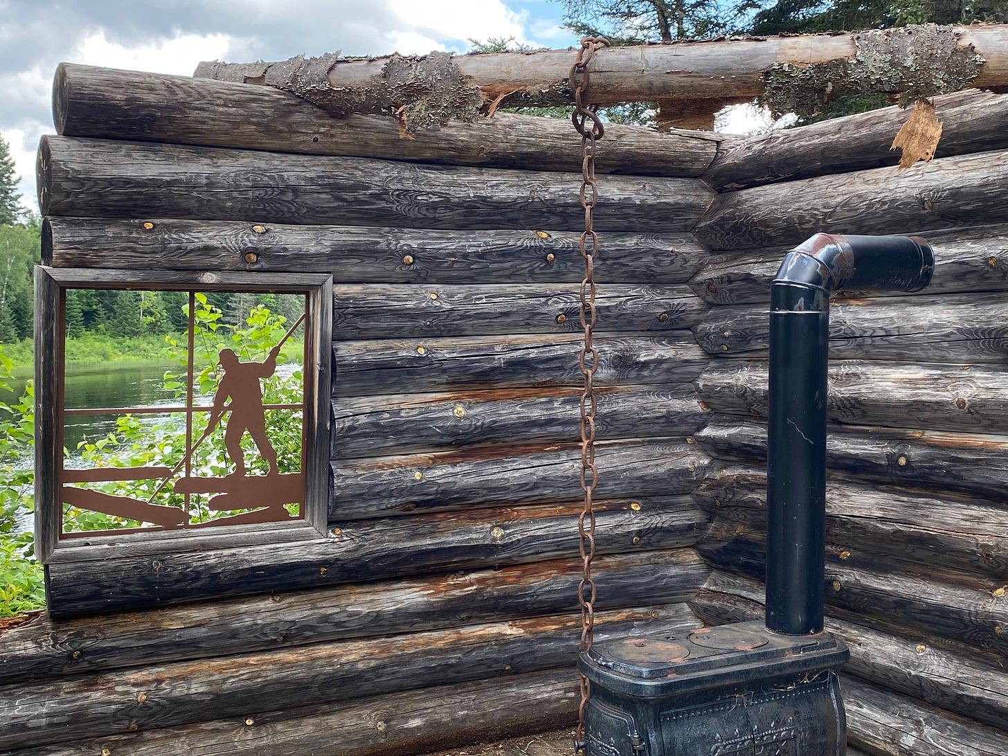
We stopped at an interpretive site on the Touladi River labeled “Le Jardin de Memoires”. We had no idea what to expect, but after a short walk through pine woods we arrived at a spot along a riverbank where three historical periods are set up, each as a “camp.” The time periods are: 8,000 years ago, 1700, and 1900. It was the kind of thing we would have really enjoyed when our daughters were young, the chance to basically “play house,” historically.
As we arrived at the site, two Japanese families (with young children) were leaving. We exchanged pleasantries.
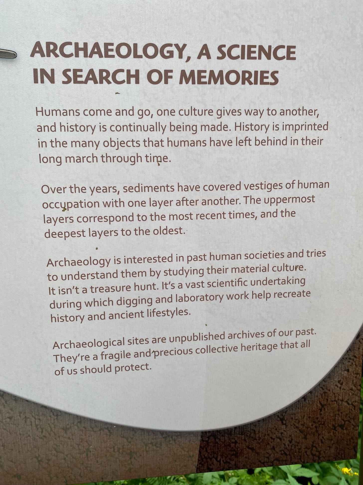
I especially appreciated the sentiment in this sign. Material culture “isn’t a treasure hunt.”
After we finished exploring the site and were again driving, we saw the Japanese families walking along the side of the narrow road. A young boy began to run away from his parents. Of course the parents reacted with terror and chased him. It’s a good thing Doug is a cautious driver and was able to simply stop.
We were using my phone for directions but I lost cell service. We have two different cell phone carriers to help out in times like these — Doug has Verizon and I have AT&T. It’s a fairly expensive solution, but we adopted it for our trip to the American West in 2021, and it was useful once or twice. But this time both carriers were useless.
We came to a Y and had to choose a fork, but both roads were unnamed. Our paper map had absolutely no detail.
We chose to go left, and in about 8 miles arrived at another campground in Temiscouata. That made me think we had chosen the wrong branch. So we turned around and took the other branch. That one almost immediately turned to gravel, so we did a U-turn — which was basically a 17 point U-turn because the road was extremely narrow.
Back on the road we encountered the Japanese families once again. Another very dangerous situation averted.
At this point we were pretty frustrated, and ready to be done with these narrow roads and being lost.
We drove back to the campground and found a Visitor Center. Two employees, who were both older women and English speaking, were very kind and helpful. In turns out that GPS is useless in the park because it indicates roads that don’t actually exist. So the “route” we were following was a phantom, even before it disappeared.
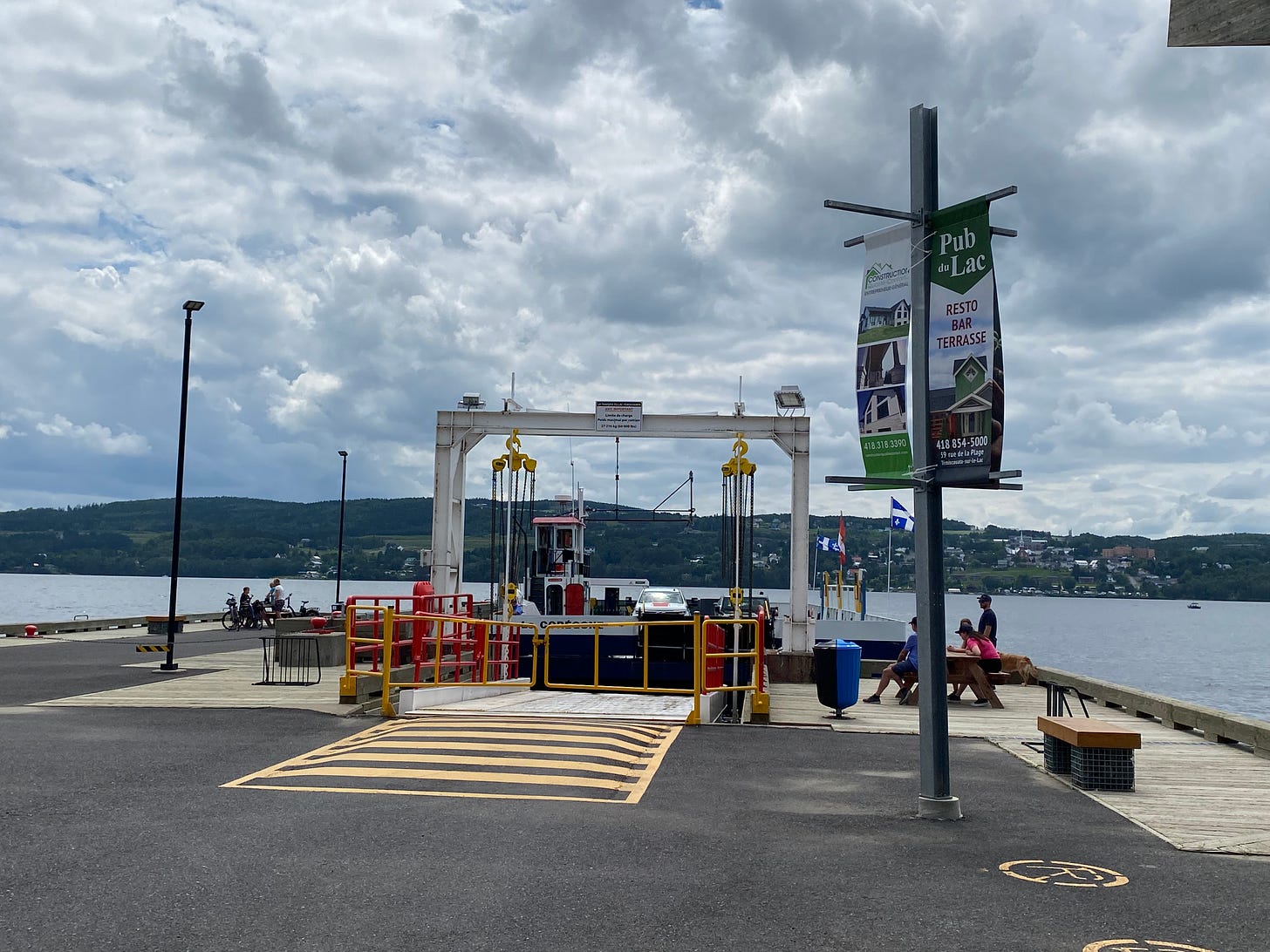
The women patiently explained that we would have to turn around and take the other branch of the Y — and drive on a gravel road for 8 to 10 km to arrive at a car ferry.
“The car ferry runs every half hour and I can look up the cost.” (much rustling, then much consultation about our vehicle) “OK, it’ll cost you $16. Now, if you want to avoid paying that, you can drive a bit longer, you just . . .”
“We’ll take the ferry!” I said.
Now we had a plan. The Visitor Center had a freezer selling ice cream bars so we bought a couple, ate them in the truck, and continued on our way. The road was indeed gravel but Doug did a great job of driving.
We arrived at the ferry just after 1:00, and had to wait until 1:30. The ferry took about 20 minutes to cross the lake. From there we took Highway 2, which is the Trans-Canada Highway, to Grand Falls.
Just outside Grand Falls is a private campground called Mulherins, where we had reservations for two nights. Quite a few of the campers appeared to be seasonal, with decks and lots of lawn ornaments. This isn’t unusual at a private campground — most of the ones we’ve stayed at have been at least 50% populated by seasonal dwellers. Sometimes this seems quite pleasant. Other times it reeks of desperation. This was the latter.
The place seemed run-down and the owners, who are our age, seemed tired. But when I asked, the owner assured me there’s a pool and showers, and a laundry room.
I was hoping to do a load or two, as our laundry had piled up since Montreal. Once we got set up I carried the laundry to the right building, which was not easy to find among the maze of campers. Once I got there, there was only one washing machine, which was old, and the room wasn’t very clean. Still, I got the job done.
Then we opted to go for a quick swim in the pool. There were five teenage girls in the pool when we arrived, playing a game of Color Tag. They were a bit self-conscious but I let them know we wouldn’t be in their way. I was so glad to see them enjoying the game. The swim was cool and refreshing.
Then I carried my shower supplies to the showers — and could hardly believe they charged quarters to use this facility. It was not at all clean or nice. Still, I needed a shower so I stripped and got in. The water came out in a trickle. At that point, what can you do?
There’s no way you can be “high maintenance” when you’re traveling in a truck camper — so keep that in mind when you see me in pictures!
July 23, Sunday — Grand Falls, NB
This morning we realized that we crossed a time zone — we’ve moved ahead an hour to Atlantic time. This seems novel because no part of the U.S. is in the Atlantic time zone.
Since it’s Sunday, I checked for churches locally, but there’s only one, which is Catholic, whose website is entirely in French. So. No. We packed up the camper and headed into Grand Falls to see the sights and have a meal.
The town of Grand Falls is very quaint, with a beautiful boulevard full of flowers and trees. The first restaurant we stopped at, which appeared to be the nicest in town, didn’t open until 4:00. But the takeout place was open and a young woman behind the counter suggested we try Hilltop. I had noticed that name also, associated with a motel.
As the name promises, the Hilltop Restaurant sits on a hill above the falls. Wide windows look out onto a stupendous view of the roaring water. Our table was perfectly placed and we could watch people zipline (tyroleinne) across the falls as we ate.
Doug got “Breakfast Poutine” which was breakfast potatoes topped with an egg and cheese curds and doused with hollandaise sauce.
After breakfast (which we ate well past noon) we went to the Visitors Center to learn about the area and observe the falls. We learned that:
~ In 1904 a guy named Van Morrell walked across the falls on a tightrope.
~ In the 1920s the falls were utilized for power, using technology that was very ahead of its time.
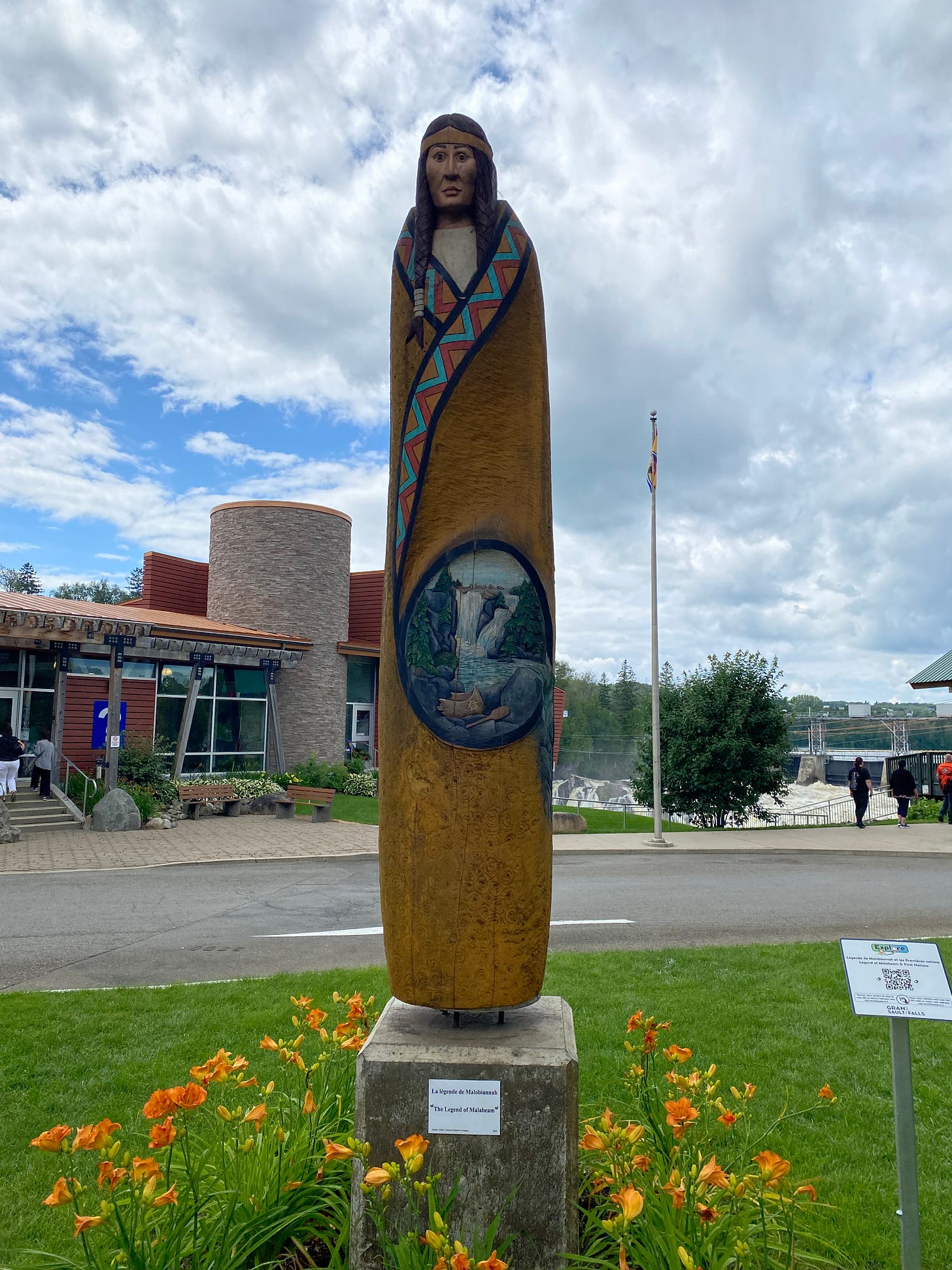
~ The falls were the stage for the Legend of Malabeam, who was a young Maliseet maiden who saved her people from an attack by 300 Mohawk braves by leading a group of canoes over the Grand Falls. I took a photo of a wooden carving.
May I comment that this seems to be a rather typical way for a woman to become a hero? And may I also observe that “300 braves” sounds inflated?
July 24, Monday — Leaving Mulherin’s Campground
The next morning we packed up and hit the road around 10:30. As we drove away we listened to the local news, which had extensive coverage about drug busts in the past year. Those busts had just resulted in the sentencing of an individual, and the radio announcer rattled off two of the felon’s addresses. One of them was on McCluskey Road in Grand Falls — which happens to be the same address as the campground we had just left. What a strange thing to hear as we drive away!

